Bacon's large-scale map of the British Battle Front, 1917
at National Library of Wales
Bacon's large-scale map of the British Battle Front, 1917
at National Library of Wales

Bacon's large-scale map of the British Battle Front, 1918
at National Library of Wales

Bacon's large-scale map of the Franco-American battle front
at National Library of Wales

Bacon's large-scale map of the French battle front (Peronne to Verdun), 1917
at National Library of Wales

Bacon's large-scale map of the French battle front (Peronne to Verdun)
at National Library of Wales

Bacon's large-scale map of the French battle front, 1916
at National Library of Wales

Bacon's large-scale map of the Salonika battle front
at National Library of Wales

Bacon's map of the seat of war in North Sea, Belgium and Eastern France
at National Library of Wales

Bacon's new chart of the world Mercator's projection
at National Library of Wales
20 works
Bacon's large-scale map of the British Battle Front, 1917
at National Library of Wales
Bacon's large-scale map of the British Battle Front, 1918
at National Library of Wales
Bacon's large-scale map of the Franco-American battle front
at National Library of Wales
Bacon's large-scale map of the French battle front (Peronne to Verdun), 1917
at National Library of Wales
Bacon's large-scale map of the French battle front (Peronne to Verdun)
at National Library of Wales
Bacon's large-scale map of the French battle front, 1916
at National Library of Wales
Bacon's large-scale map of the Salonika battle front
at National Library of Wales
Bacon's map of the seat of war in North Sea, Belgium and Eastern France
at National Library of Wales
Bacon's new chart of the world Mercator's projection
at National Library of Wales

Bacon's new war map Paris to Berlin (with contour colouring) showing clearly rivers, roads, railways, forts, fortified towns, naval stations etc
at National Library of Wales

National Library of Wales
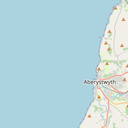
Ceredigion, United Kingdom