The European war, 1914 map illustrating the Western campaign
at National Library of Wales
British
The European war, 1914 map illustrating the Western campaign
at National Library of Wales

W. & A. K. Johnston's war map of Belgium and North-East France
at National Library of Wales

W. & A. K. Johnston's war map of Europe 1914-1916
at National Library of Wales

W. & A. K. Johnston's war map of Palestine
at National Library of Wales

W. & A. K. Johnston's war map of the Balkan States
at National Library of Wales

W. & A. K. Johnston's war map of the Dardanelles & Bosporus
at National Library of Wales

W. & A. K. Johnston's war map of the Middle East
at National Library of Wales

W. & A. K. Johnston's war map of the Western Front
at National Library of Wales
8 works
The European war, 1914 map illustrating the Western campaign
at National Library of Wales
W. & A. K. Johnston's war map of Belgium and North-East France
at National Library of Wales
W. & A. K. Johnston's war map of Europe 1914-1916
at National Library of Wales
W. & A. K. Johnston's war map of Palestine
at National Library of Wales
W. & A. K. Johnston's war map of the Balkan States
at National Library of Wales
W. & A. K. Johnston's war map of the Dardanelles & Bosporus
at National Library of Wales
W. & A. K. Johnston's war map of the Middle East
at National Library of Wales
W. & A. K. Johnston's war map of the Western Front
at National Library of Wales

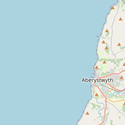
National Library of Wales
Ceredigion, United Kingdom